


Tremblor Mountain Range seen in the distance.
earthquake activity along the San Andreas Fault.
Carrizo Plain Wildflowers Springtime Views |
||||
|
||
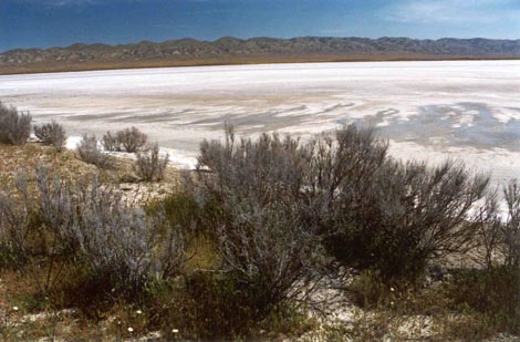
| In wet years, surface alkaline is flushed into Soda Lake. | ||
|
|
|
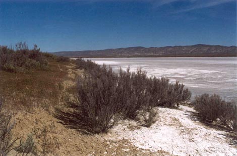
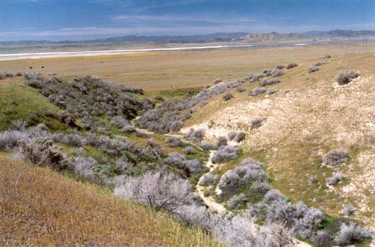
| The extensive Carrizo Plain watershed drains into 50-mile long Soda Lake. | ||
|
|
|
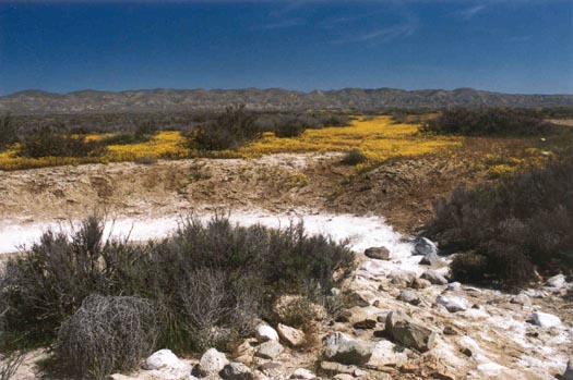
| Alkaline crusts stand out in stark relief against the Plain's early spring landscape. | ||
|
||
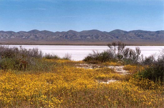
| Patches of wildflowers edge Soda Lake near the Visitor's Overlook. | ||
|
|
|
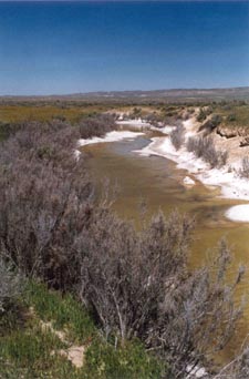
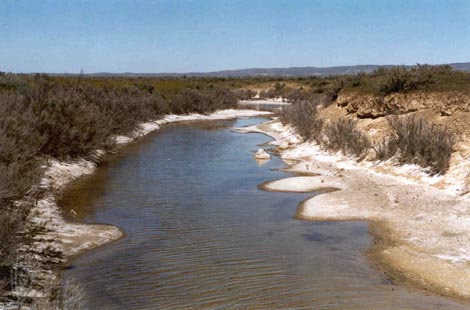
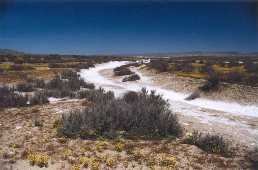
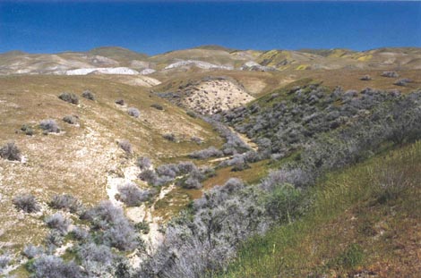
| This stream meanders a few miles through California Valley before disappearing underground. | ||
|
||
| In search of wildflowers, we crossed the valley heading towards Wallace Creek. | ||
|
||
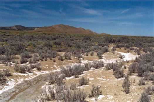
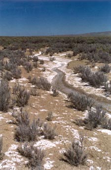
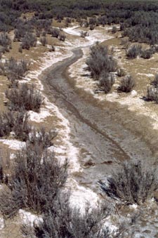
| Along the way we saw more alkaline-lined streambeds. | ||
|
||
| In such a harsh landscape, it's hard to imagine how wildlife can exist here. | ||
|
||
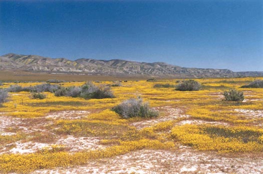
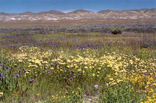
| About half way across the valley, we found large areas carpeted with wildflowers. | ||
|
||
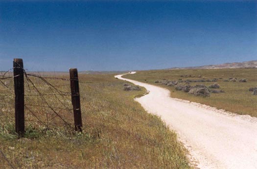
| There are no trails, no fences in this area. | ||
|
||
| We had this entire landscape to ourselves. | ||
|
||
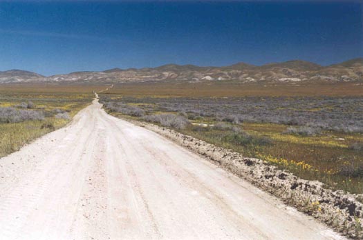
| The
San Andreas Faultline is at the base of the Tremblor Mountain Range seen in the distance. |
||
|
||
| The San Andreas stretches the entire length of California Valley. | ||
|
||
| Dirt roads throughout the Carrizo Plain are impassible in wet weather. | ||
|
||
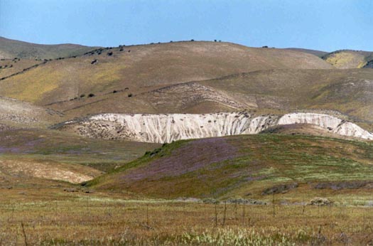
| Section of scarp along the San Andreas Earthquake Fault. | ||
|
|
|
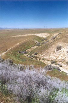
| Wallace
Creek shifted several hundred yards north due to earthquake activity along the San Andreas Fault. |
||
|
||
| View from Wallace Creek towards Soda Lake. | ||
| Return to Top. | Go to Carrizo Plain Summer Views. | |