

Joshua trees once thrived here too, but all have vanished.



Lots of mice and voles to eat.

Photographers often do this at Bodie.



Last October, the scene was very different.
Eastern Sierras, Oct 2009 |
 |
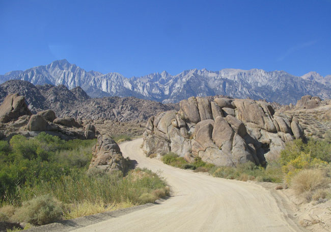
| "Movie Flats" Alabama Hills, Lone Pine, CA |
 |
| Scores of Hollywood westerns have been filmed here. |
 |
| Quite surprisingly, the movie "Gunga Din" was filmed here too. |
 |
| Quest this visit was to capture more stone archways. |
 |
| There are over 80 wind-carved stone archways in the Alabama Hills. |
 |
| It takes time, patience to locate them among the numerous rock formations. |
 |
| Accessibility can sometimes present a challenge. |
 |
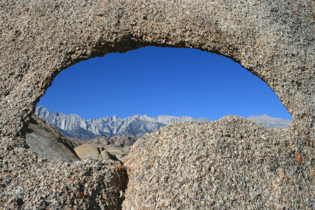
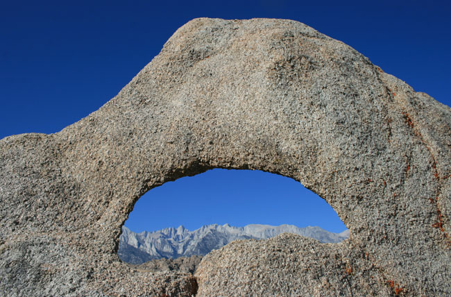
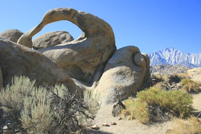
| There is one stone arch everyone wants to find. |
 |
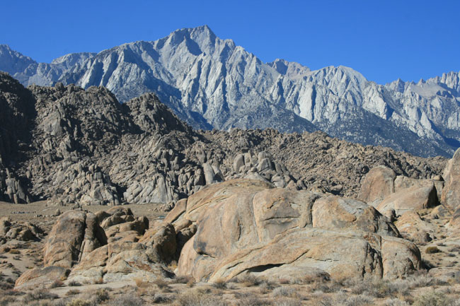
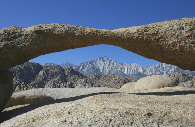
| Lone Pine Peak framed by the Hill's most famous archway. |
 |
| Hazy skies due to wild fires burning further south in the Los Angeles Basin. |
 |
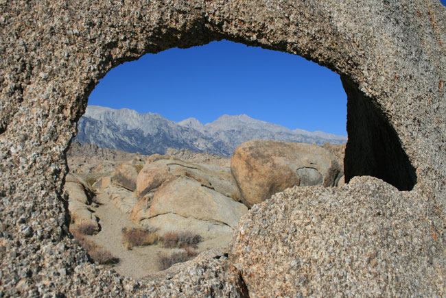
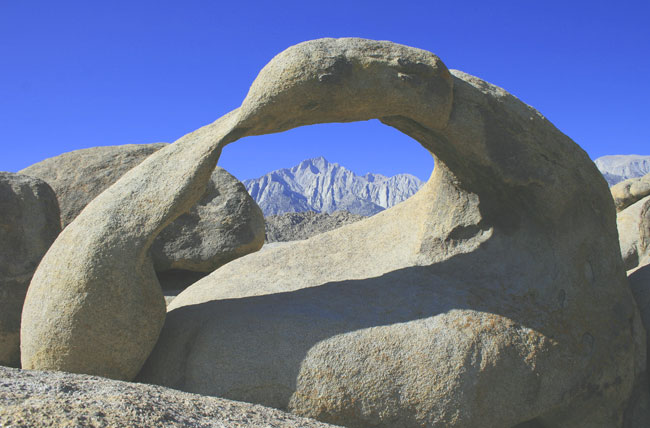
| A broad, narrow archway discovered while exploring. |
 |
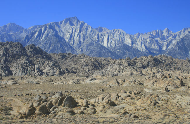
| A line of equestrians wind their way through Movie Flats in the Alabama Hills. |
 |
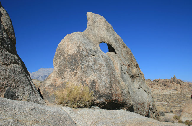
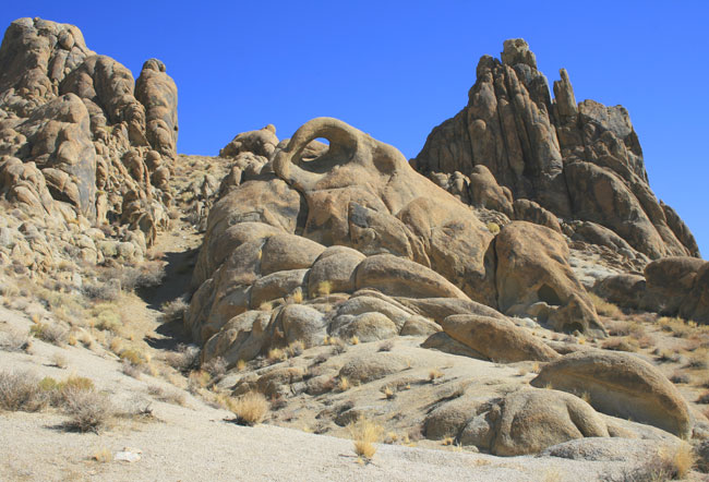
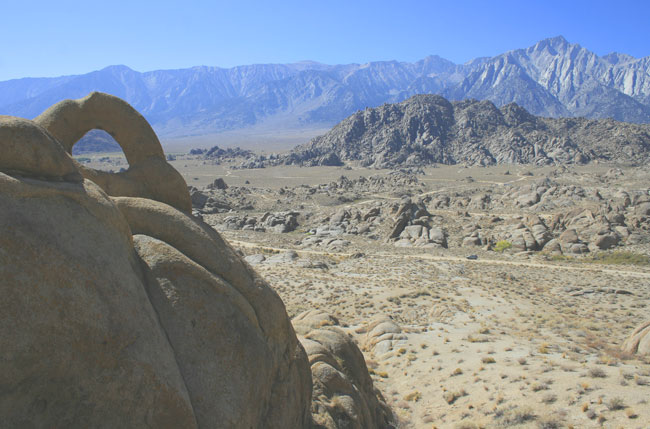
| Just as we were leaving, noticed this archway in an area not previously explored. |
 |
| Found no safe way to get close to it. |
 |
| No safe way to get behind it either. Note the distance to our car on the road below. |
 |
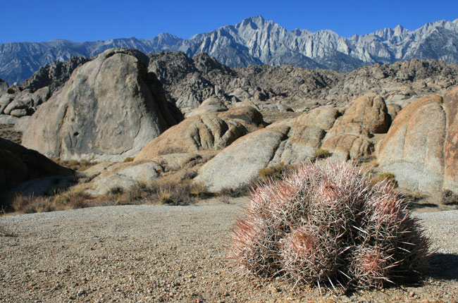
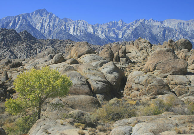
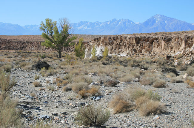
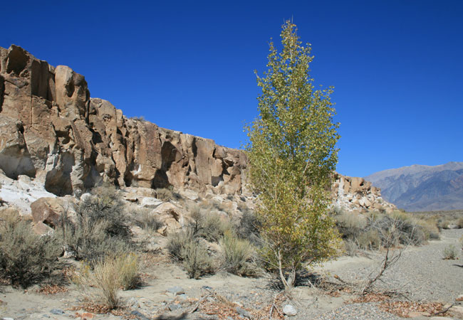
| A sturdy cottonwood deep rooted in a dry creek bed. Joshua trees once thrived here too, but all have vanished. |
| "Goodbye God, I'm going to Bodie! " |
 |
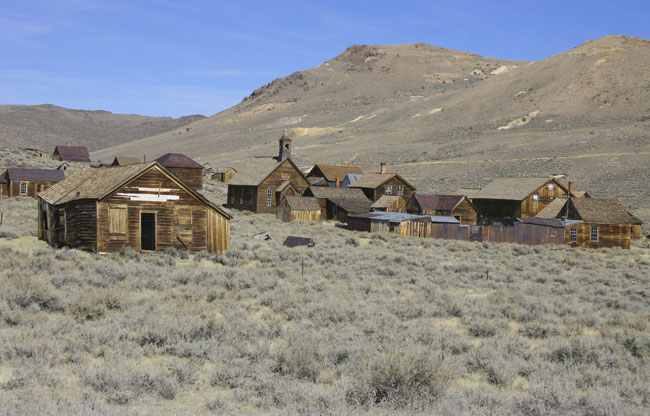
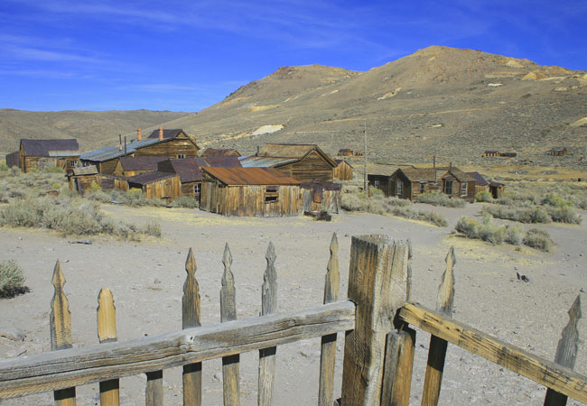
| We arrived 1.5 hours before closing time. Not enough time to see everything. |
 |
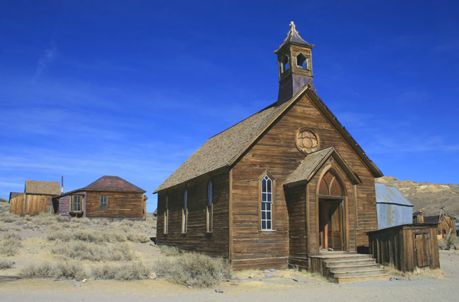
| Church scene very popular with photographers. Surprised to have a clear view. |
 |
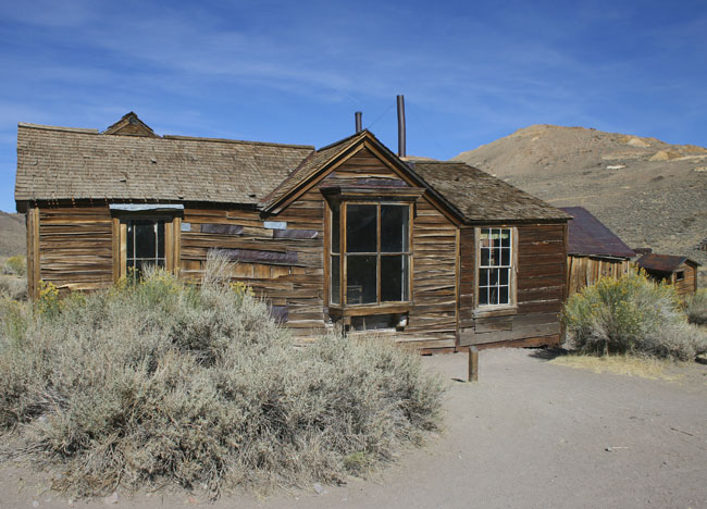
| Some of the structures appear near collapse. |
 |
| Buildings in better shape are locked to prevent entry. |
 |
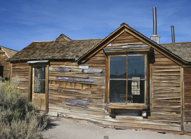
| All structures heavily weathered by the elements. |
 |
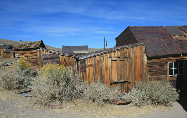
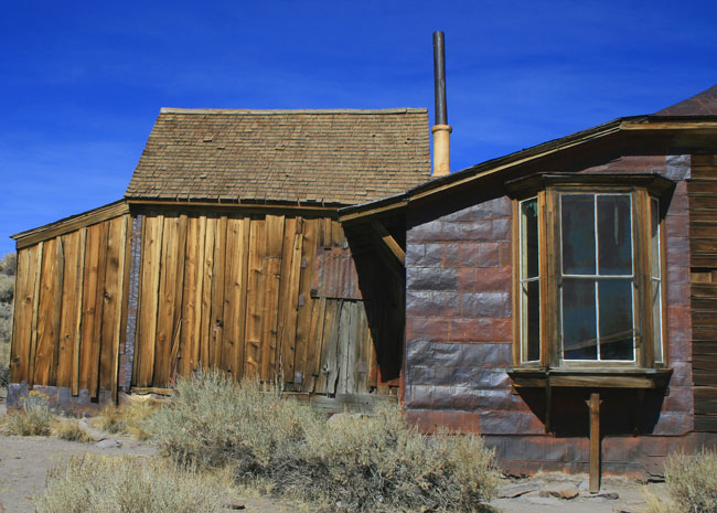
| Shacks with smaller rooms added haphazardly. |
 |
| Flattened tin can siding for additional insulation. |
 |
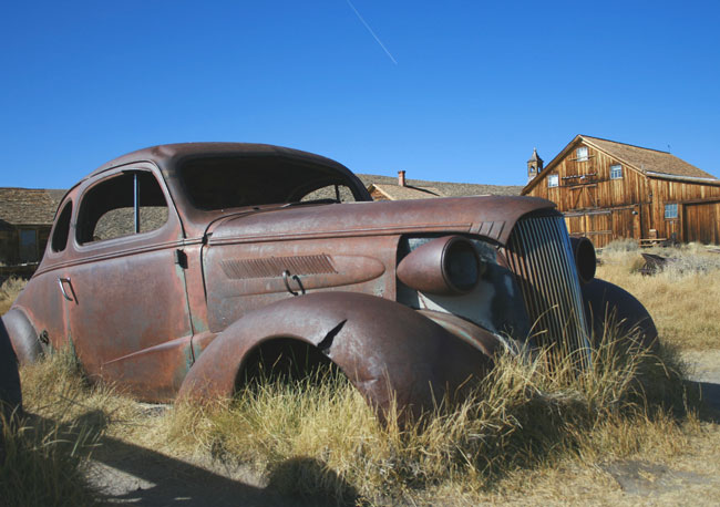
| Portrait of decay. |
 |
| These old shacks have withstood extreme heat in summer, deep snow in winter. |
 |
| An autumn afternoon slowly drawing to a close. |
 |
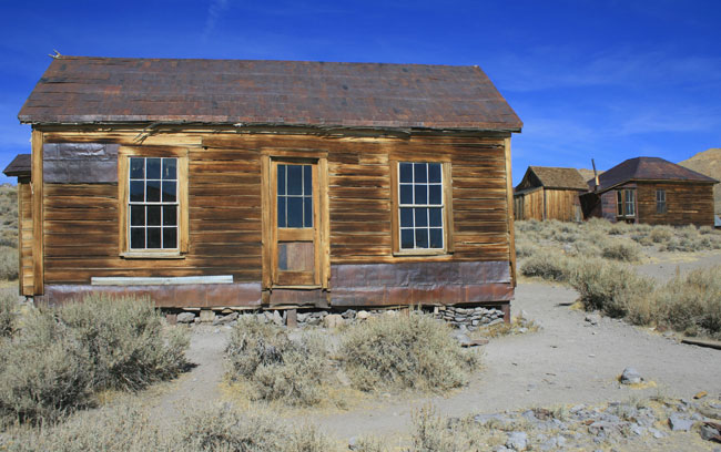
| One of a handful of sturdy houses that still retain their windows. |
 |
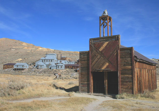
| A pulley mechanism was used to lift and close the door to the fire house. |
 |
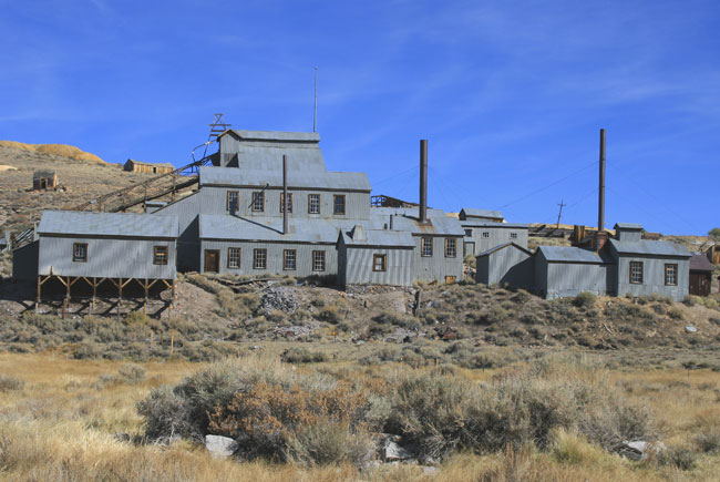
| View of the buildings housing equipment used to process ore extracted from nearby mines. |
 |
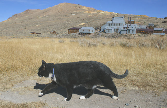
| This fat cat is a serious hunter. Watched it make its rounds from shack to shack. Lots of mice and voles to eat. |
 |
| Another favorite scene for photographers. |
 |
| Sun sinking low casting shadows. |
 |
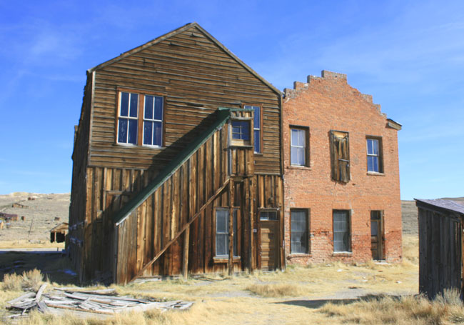
| Two structures with a shared wall for support. |
 |
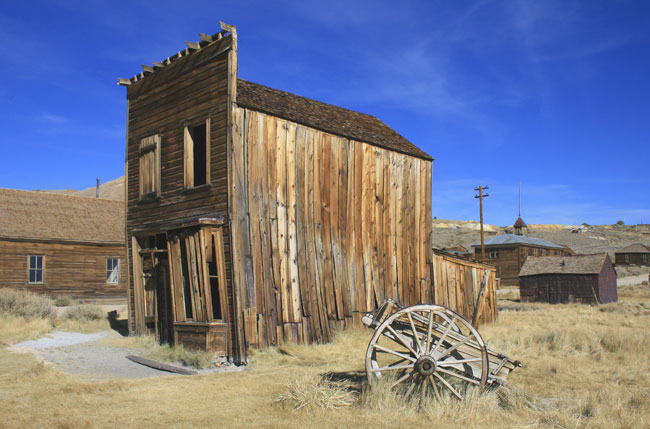
| Found this broken wagon wheel positioned to enhance the scene. Photographers often do this at Bodie. |
| Chalfants Petroglyphs |
 |
| Twenty miles northeast of Bishop about mid-valley. |
 |
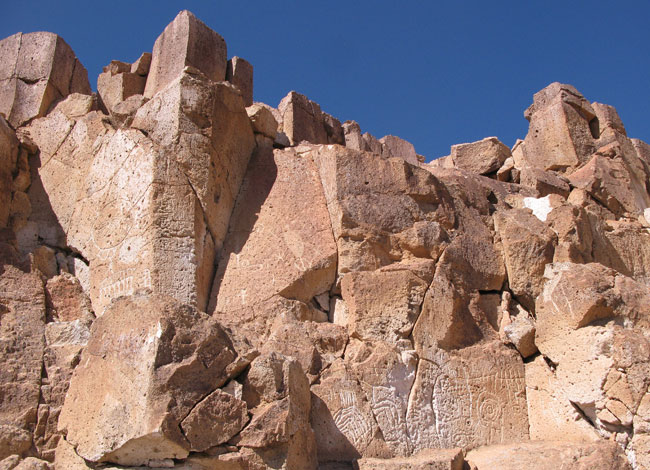
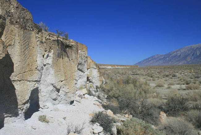
| Along a quarter-mile stretch of fractured cliff-face above a dry arroyo. |
 |
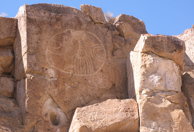
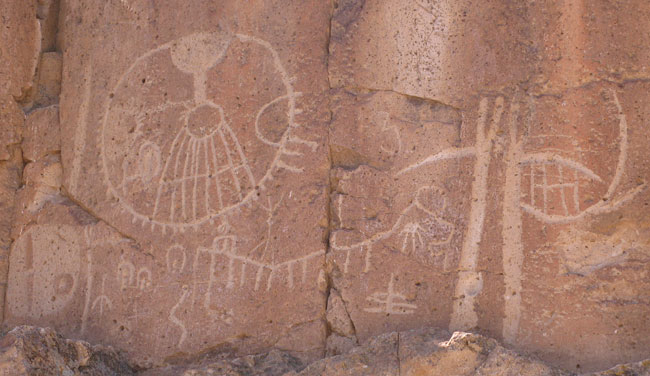
| Is the site of an impressive array of Native American petroglyphs |
 |
| Owens Valley is the traditional tribal lands of Piute and Shoshone. |
 |
| But these petroglyphs are older by a thousand years. |
 |
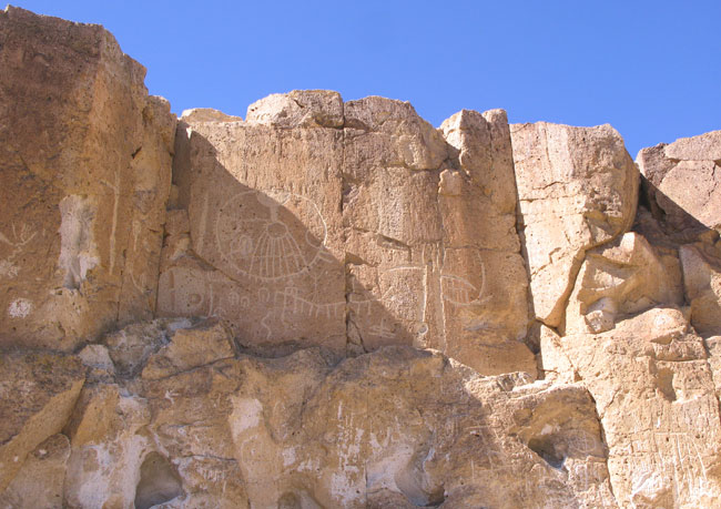
| In some places, the entire cliff face is covered with markings. |
 |
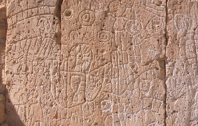
| Some deeply carved and more recent, others worn, faded, hardly visible. |
 |
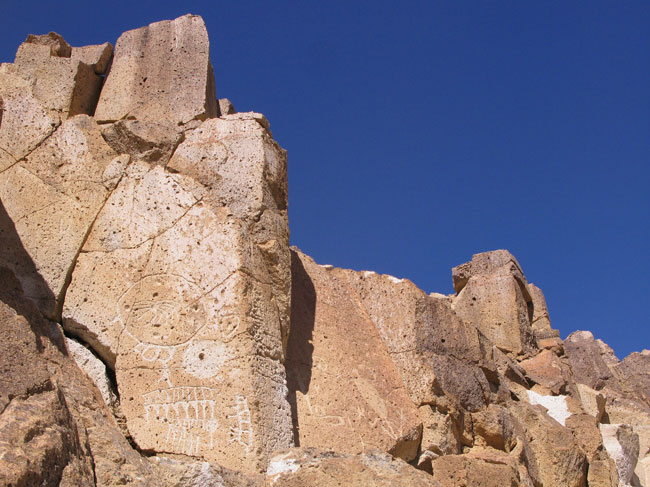
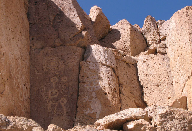
| Concentric circles, cup-and-ring, zig-zag lines, animorfic. |
 |
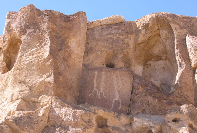
| Three hunters, one appears to hold a bow. |
 |
| Care to speculate on the meaning of these symbols? |
 |
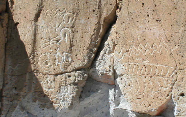
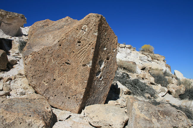
| Repeated straight and chevron lines, concentric circle, cup-and-ring marks. |
 |
| Numerous symbols concentrated in a small area. |
 |
| Parallel wavy lines - water? Ladder or partial outline of a feather? Stick figure pointing west? |
 |
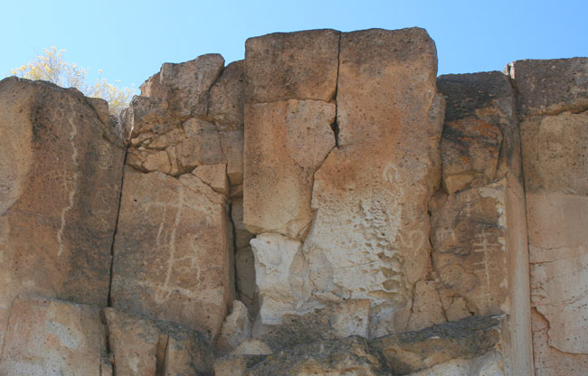
| These carving high up on the cliff face, well above human height. |
 |
| Incised boulder near dry streambed. |
 |
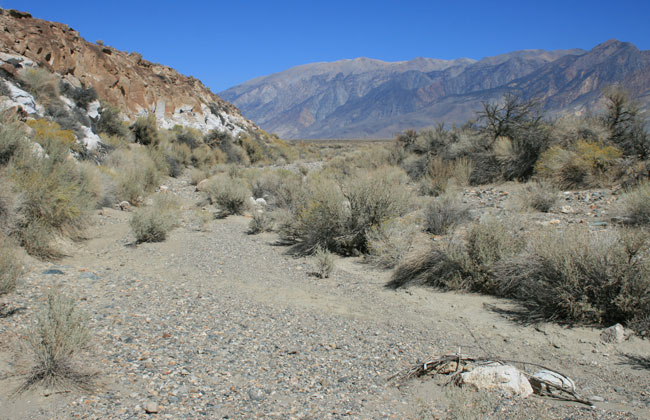
| A thousand years ago, stream bed would have been much higher than today. |
 |
| Bleached area at base of cliff was once the stream bed. |
| Mono Lake |
 |
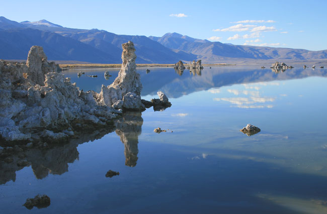
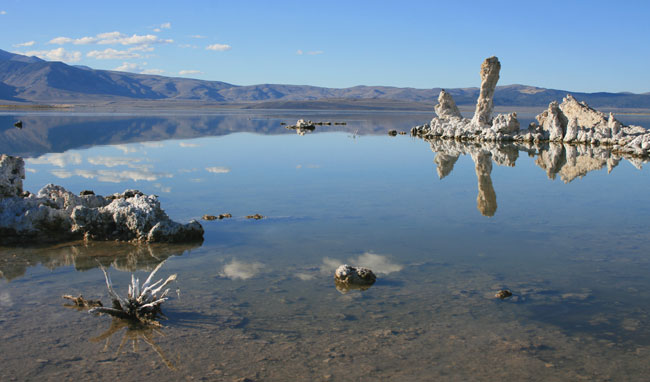
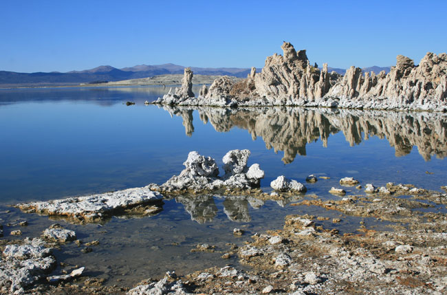
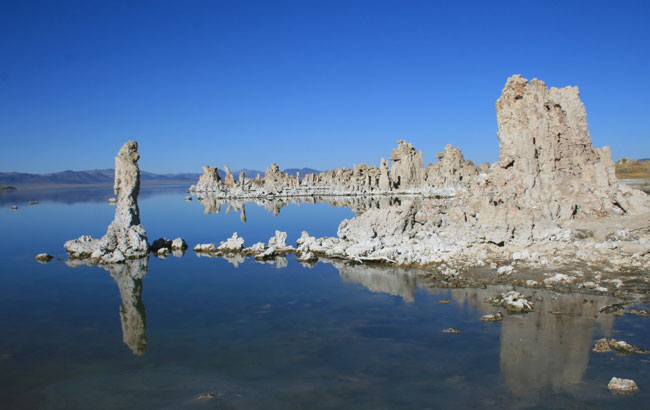
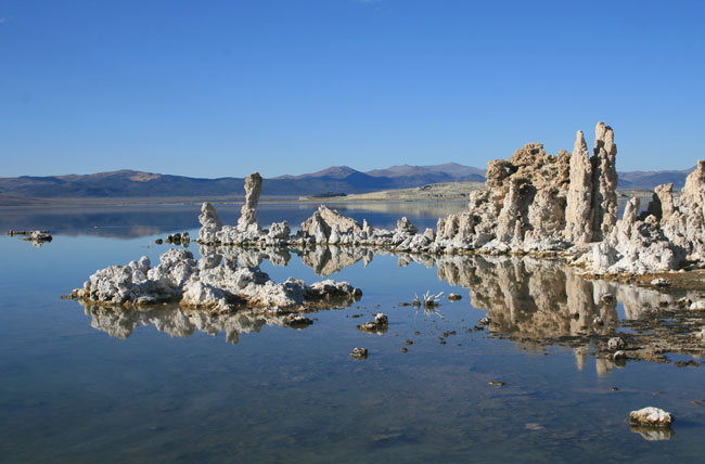
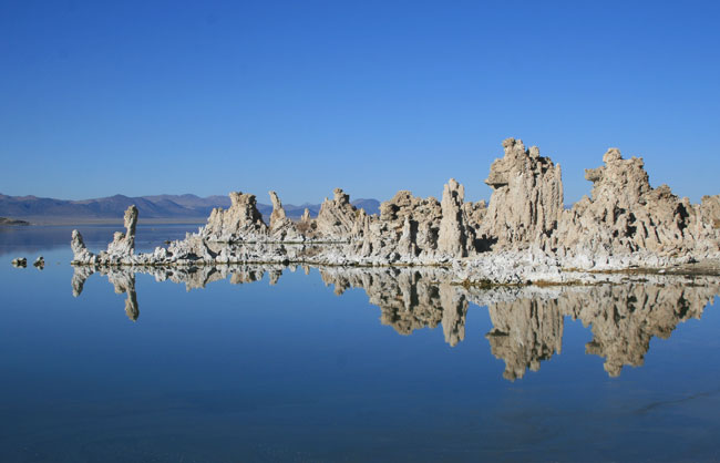
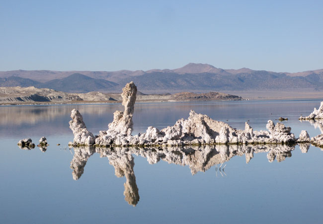
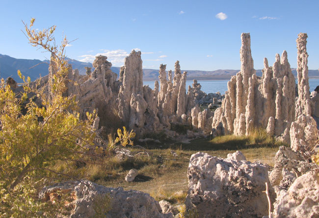
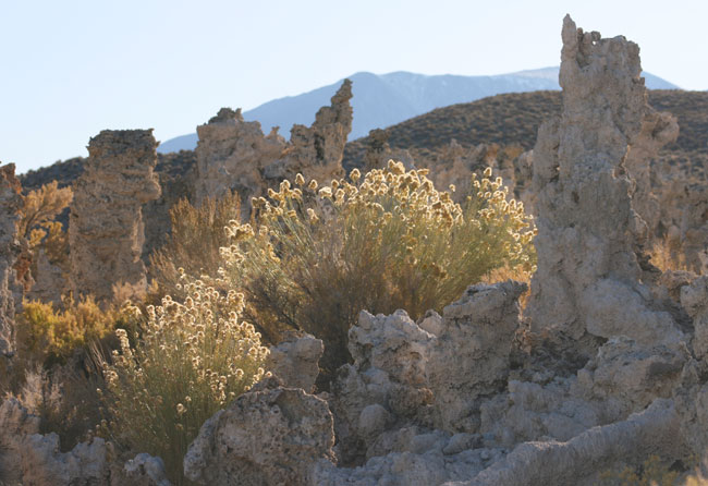
| Late afternoon along the shore of Mono Lake. |
 |
 |
 |
 |
 |
 |
 |
 |
| June Lake Loop, Mono Basin |
 |
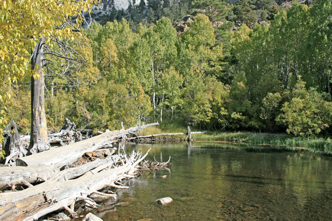
| Rush Creek, June Lake Loop. |
 |
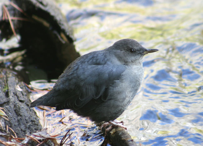
| A Dipper pauses briefly before resuming its under water search for food. |
 |
| Rush Creek is very popular with both anglers and photographers. |
 |
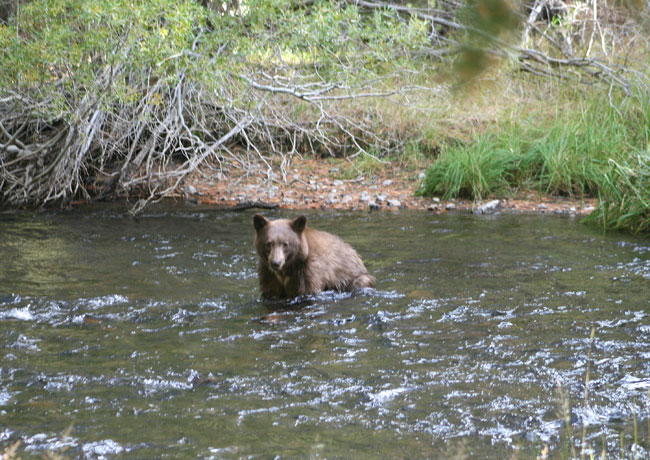
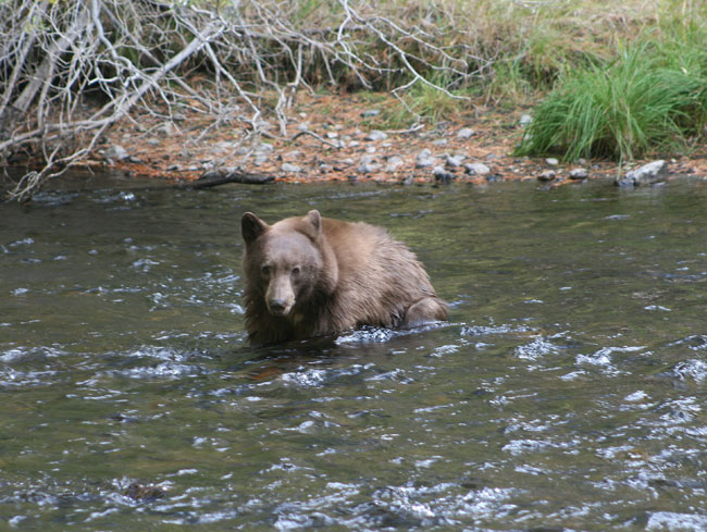
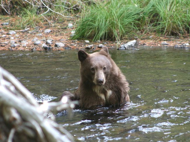
| A full-size cinnamon colored black bear entered the water just across the creek. |
 |
| It flicked one ear back when it heard the click of my lens shutter. |
 |
| It sat down mid stream and began feeling around underwater in search of crayfish. |
 |
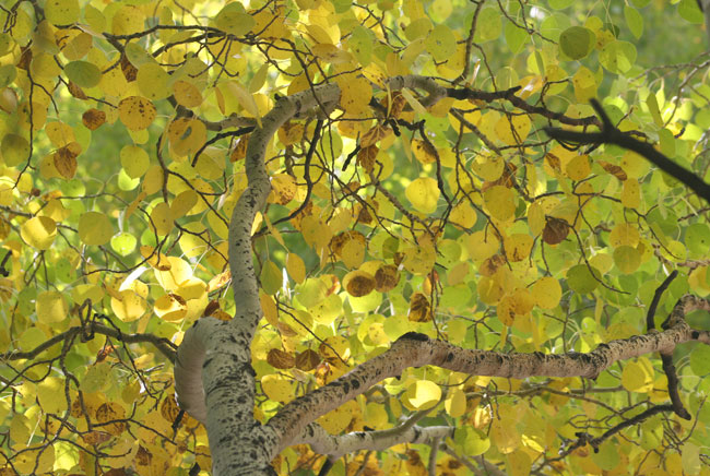
| Not a lot of autumn color yet. Another week or so, the entire canyon will turn to flame. |
 |
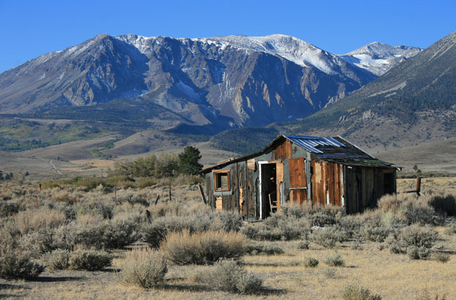
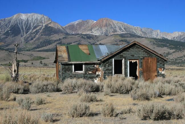
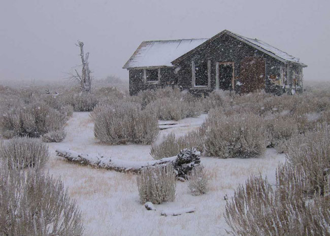
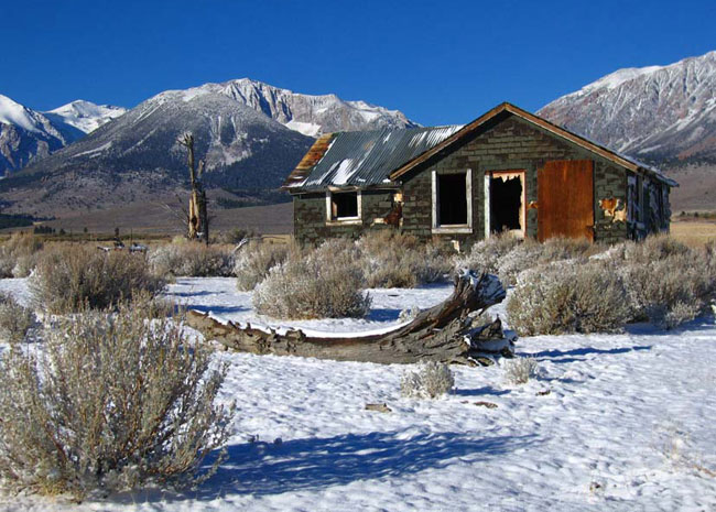
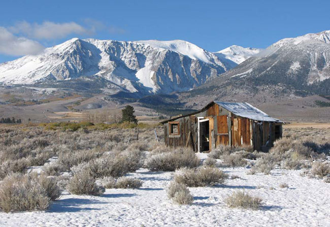
| One of two old shacks along Hwy 395 about a mile from the June Lake Loop road. |
 |
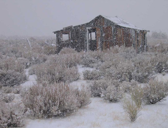
| I photograph these shacks each time we visit Mono Basin. Last October, the scene was very different. |
 |
| Same weekend, October 2008, blizzard conditions. |
 |
| All the northern passes were closed. We arrived via the southern route through Mojave. |
 |
| Same weekend, October 2007. |
 |
| Northern passes were closed, we took the southern route via Mojave to get home. |
| Return to Top. For more information visit: Mono County: Wild by Nature |