
the Pacific and Continental tectonic plates.


foothills parallel to the San Andreas Fault.

The narrow Parkfield to Coalinga Road climbs over
Mustang Ridge and terminates at Hwy 198.
Parkfield, CA Roadside Views, Spring 2005 |
||||
|
||
| This riverbed marks the division between the Pacific and Continental tectonic plates. |
||
|
||
| The town of Parkfield is situated on the San Andreas Earthquake Fault. | ||
|
||
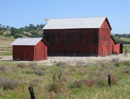
| Barn buildings along the road to Parkfield. | ||
|
||
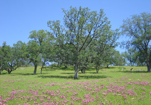
| Hayfields and oak savannas. | ||
|
||
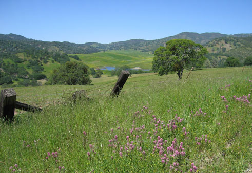
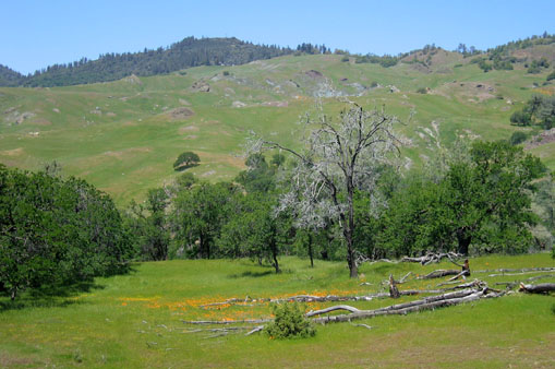
| Spring wildflowers bloom throughout the foothills. | ||
|
||
|
||
| In spring the road to Parkfield is lined with wildflowers. | ||
|
|
|
| "Be here when it happens!" expresses the lighter side of living on the faultline. | ||
|
||
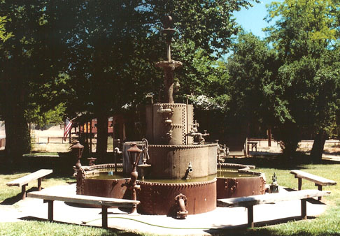
| This fountain is the centerpiece of Parkfield's heritage park. | ||
|
||
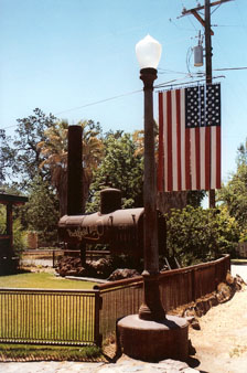
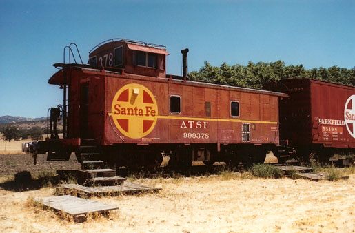
| The edge of town marks the end of the line for a few old railway cars. | ||
|
||
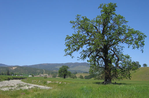
| Beyond, a broad stretch of oak savanna extending to the foothills. | ||
|
||
|
||
|
||
|
||
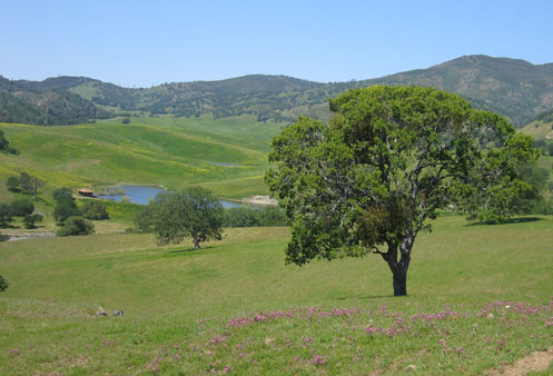
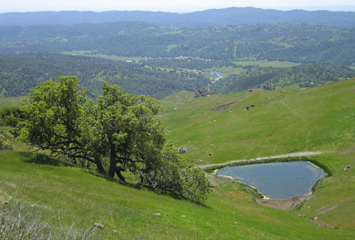
| This "Sag Pond" is one of many high in the foothills parallel to the San Andreas Fault. |
||
|
||
|
||
The narrow Parkfield to Coalinga Road climbs over |
||
| Return to Top. | ||